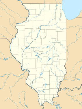
Mississippi River State Fish and Wildlife Area
Appearance
| Mississippi River State Fish and Wildlife Area | |
|---|---|
IUCN category IV (habitat/species management area) | |
Location in United States | |
| Location | Jersey and Calhoun counties, Illinois, United States |
| Nearest city | Grafton, Illinois |
| Coordinates | 39°5′N 90°30′W / 39.083°N 90.500°W |
| Area | 24,386 acres (98.69 km2) |
| Governing body | Illinois Department of Natural Resources |
Mississippi River State Fish and Wildlife Area is an 24,386-acre (9,869 ha) protected area in Jersey and Calhoun Counties, Illinois. The park is maintained by the Illinois Department of Natural Resources.
References
[edit]- "Mississippi River State Fish and Wildlife Area". Illinois Department of Natural Resources. Archived from the original on June 15, 2007. Retrieved July 18, 2018.


